Geospatial Analysis, GIS, and Information Management
GIS and cartography have been an important element of most of the projects that ECOSTEM has worked on.
ECOSTEM has considerable GIS and cartography experience gained from these projects, and from providing these services to other team members. We have experience creating and/or implementing cutting edge spatial data approaches and methods.
One example of our experience in basic GIS tasks is writing a computer program to automate habitat polygon digitization from digital ortho-imagery. This latter program has been used on multiple mapping projects to save considerable time during the initial stage of creating a new spatial dataset.
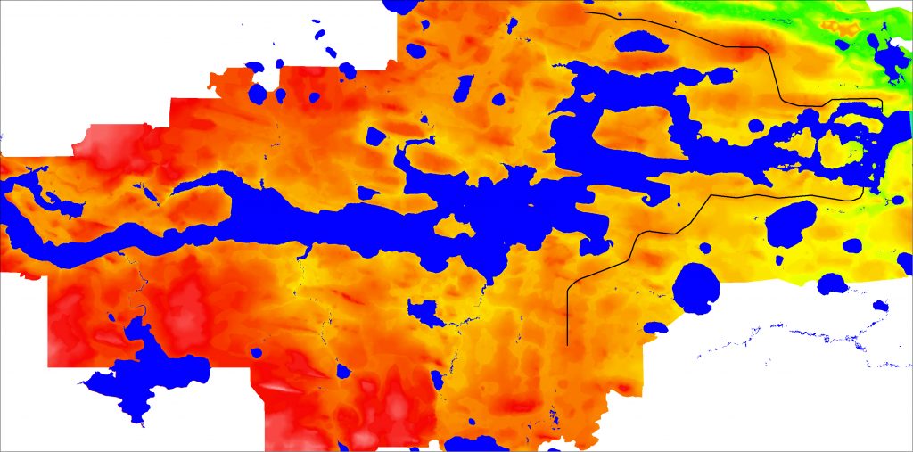
An example of our experience in advanced GIS work is using geospatial analysis to create trace metal concentration contours to map airborne deposition of emissions from a coal-fired power generation plant. Another is producing a sub-surface DEM from field data.

Information management has been another important element of most of the projects that ECOSTEM has worked on. Here we are using “information management” as an umbrella for spatial and non-spatial data management, information management and knowledge management.
ECOSTEM has created and managed data for numerous projects. We also have designed information management systems.
Examples of areas of expertise:
- Satellite imagery pre-processing tasks such as radiometric correction, cloud and shadow removal
- Satellite imagery processing tasks such as pan sharpening, image mosaicking, and creating true or false color composites.
- Satellite imagery processing tasks such as compositing, .
- Ortho-rectification of digital imagery.
- Geospatial analysis.
- Creating spatial concentration or elevation models, and extracting contours.
- Data, information and knowledge management.
- Designing information management systems.
Example Projects
Bipole III Transmission Project
Bipole III is a direct current transmission line that follows a 1,388 km route from Gillam to a converter station east of Winnipeg.
ECOSTEM was retained for initial route selection, environmental characterization and effects assessment planning. Roles included:
- Coordinate the biophysical studies;
- Determine the overall environmental assessment methodology for biophysical components.
- Constraints mapping;.
- Terrestrial habitat and ecosystems mapping.
- Data and knowledge management.
- Provide GIS and cartography support to other biophysical and socioeconomic team members.
Some of the activities we conducted for information management and GIS support included:
- Compile and verify datasets to be used for the site selection and environmental assessment.
- Work with team members to identify appropriate uses for the datasets they contributed.
- Consolidate individual region datasets into a single dataset with consistent attributes.
- Create a spatial and non-spatial data management structure and system.
Manitoba Museum
The Manitoba Museum has maintained a herbarium for many years. Many of the herbarium specimens had been entered into a database. ECOSTEM wrote a GIS-based computer program to automate the creation and export of plant species distribution maps from the herbarium database. To facilitate this, several data processing tasks were completed (e.g., creating a new database field with consistent species nomenclature).
Regional Cumulative Effects Assessment of Hydroelectric Development in Northern Manitoba
Planned and managed the compilation of numerous current and historical terrestrial datasets, consolidated datasets into single GIS theme datasets having consistent attributes, enhanced satellite imagery classifications.
Learn more about this project.


