Mapping
Reliable mapping is a fundamental need for most environmental assessment, monitoring and land use projects. When appropriate maps are not available at project start, a key decision is to determine how much effort will be put into creating suitable mapping. One reason that this decision is key is that mapping can be extremely costly. Having mapping experience from a wide range of project types, geographic areas and available information can considerably reduce project costs when determining the most appropriate approach.
ECOSTEM uses its extensive and varied experience from environmental assessments, monitoring, land use planning and conservation area evaluations to design and carry out a mapping project that creates a product that efficiently meets your needs.
ECOSTEM has created numerous map datasets to meet a variety of project needs, and for a wide range of ecological conditions. These geospatial datasets were created using a variety of approaches, with the selected approach reflecting what was most efficient for meeting study objectives.
The selection of a classification system (e.g., ELC) is an important decision when creating a map dataset. In some cases, we have used existing provincial or national classification systems (e.g., Canadian Wetland Classification System, Canadian System of Soil Classification). In others, we adapted existing classifications (e.g., Terrestrial and Wetland Ecosites of Northwestern Ontario) or developed a new classification to meet project-specific needs.
Our mapping experience includes producing detailed, large-scale habitat and wetland mapping for approximately 2,900 km2 of land area. In addition to this, moderately detailed, smaller-scale mapping has been produced for more than 50,000 km2 by classifying satellite imagery. We have enhanced, refined and/or updated existing habitat/land cover mapping for an additional 800,000 km2.
We have mapped shore zone wetlands along more than 43,000 km of shoreline. This total includes detailed, large-scale mapping along more than 33,000 km of shoreline.
ECOSTEM has created this large-scale mapping primarily through interpretation of stereo photos and photography acquired during low altitude aerial surveys. Examples of approaches we have used for less detailed mapping include classifying satellite imagery, enhancing forest inventory data, interpreting high-resolution true colour imagery, and using field data to enhance available information.
Examples of areas of expertise:
- Hierarchical ecological land classification. Familiarity with a wide variety of systems.
- Wetland classification. Familiarity with a wide variety of systems.
- Wetland evaluation, including classifying wetland function values and wetland quality using alternate systems.
- Recommending wetland mitigation to achieve no net loss or other objectives.
- Photo-interpretation.
- Satellite imagery classification using a variety of methods.
- Enhancing existing datasets (e.g., forest inventories) using other available information and expert systems.
- Geospatial analysis.
Example Projects
Conawapa Generation Project
Manitoba Hydro has been examining the feasibility of building a hydroelectric generating station at the Conawapa site on the lower Nelson River for many years. A 1,500 MW option was the focus of environmental assessment studies conducted from 2004 to 2014. The project was deferred in 2014.
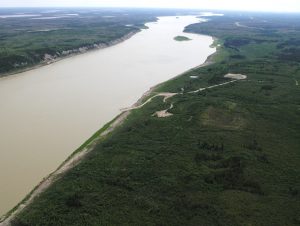
ECOSTEM’s roles for this project included : serving on the senior environmental management team; co-leading the overall effects assessment methodology, determining the overall terrestrial assessment methodology; designing and carrying out impact environmental assessment studies for terrestrial ecosystems, habitat and plants; designing and carrying out required mapping for all terrestrial studies; field data collection for terrestrial ecosystems, habitat and plant studies; providing GIS, statistical and cartographic support for the wildlife studies; communicating potential effects to local First Nations; and, recommending mitigation. Our work ceased after the project was deferred.
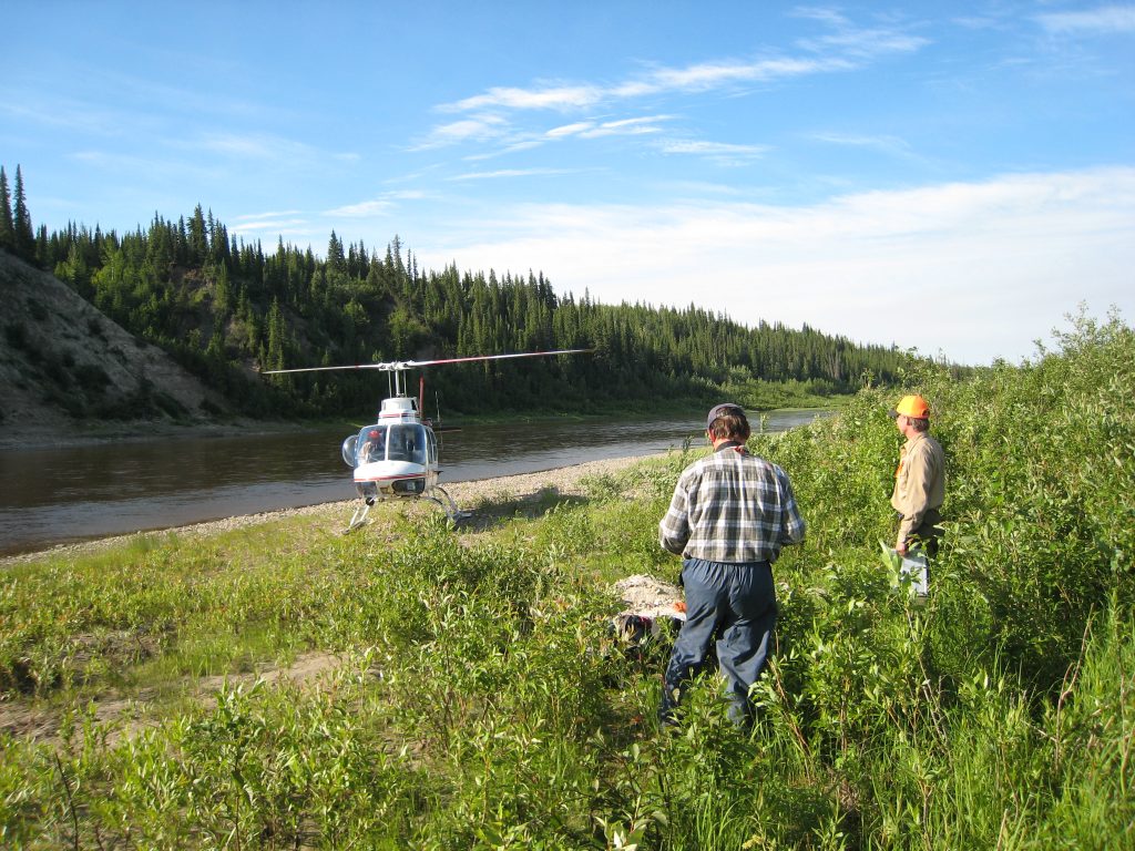
Key topics for the terrestrial ecosystem, habitat and plant assessment studies were terrestrial habitat, ecosystem diversity, wetland function, intactness, priority plants and invasive plants.
ECOSTEM completed a wide range of activities in support of the terrestrial assessments. Given the types of issues that were of concern to local First Nations, the nature of potential effects and the limited amount of existing data, we completed major mapping and data collection programs. We created detailed terrestrial and wildlife habitat mapping through photo-interpretation for an area of about 900 km2. More detailed habitat mapping was created for the Nelson River ravines, banks and terraces since these were the ecological zones that would be most affected if this version of the project proceeded. Less detailed habitat mapping for the surrounding area was produced from satellite imagery that was enhanced for the Project. For the intactness assessment, human features were mapped in 16,000 km2 surrounding the potential project by interpreting a combination of high-resolution remote sensing and large-scale air photos. Detailed shoreline wetland mapping was not created because the vast majority of the shoreline below the high-water line was devoid of mappable vegetation.
A major field data collection program was undertaken to characterize each of the mapped terrestrial ecosystem/habitat types, and to provide statistically-based associations between vegetation, soils and other environmental factors. Sample locations were located starting 50 km upstream of the project and extending downstream to Hudson Bay.
Species at Risk in PFRA Pastures
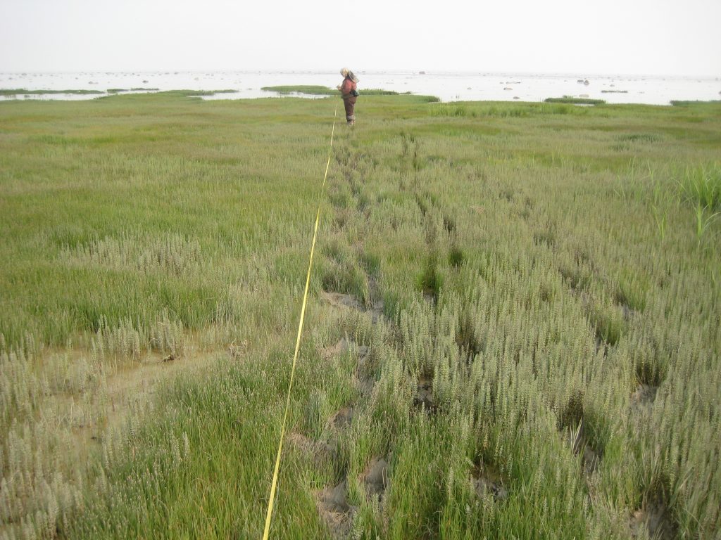
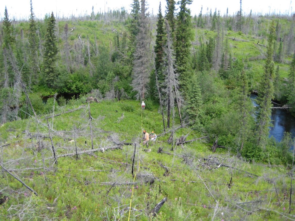
The Federal Species at Risk Act includes responsibilities relating to species at risk on federal lands. As one element of meeting these responsibilities, two Prairie Farm Rehabilitation Administration (PFRA) pastures in Manitoba were inventoried for the presence of plant and bird species at risk.
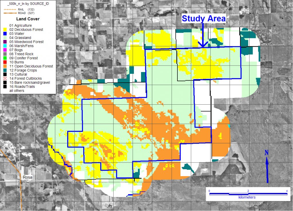
ECOSTEM’s roles for this project were to design the habitat sampling approach, photo-interpret habitat composition from stereo air photos and create fieldwork maps for the surveys. Habitat was photo-interpreted and mapped for both pastures.
Pointe-Whiteshell Transmission Project
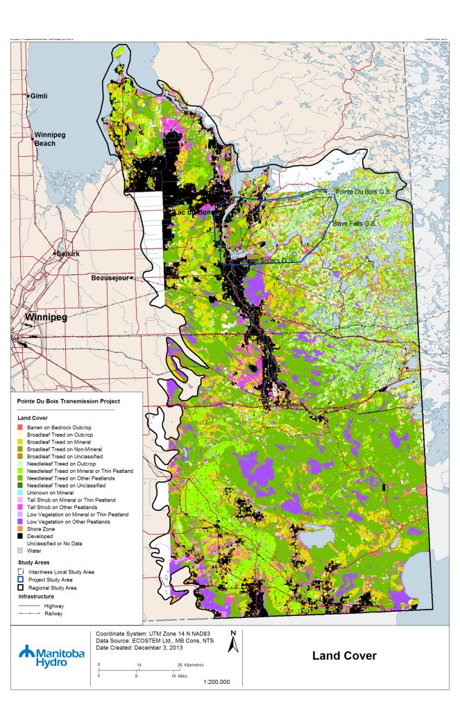
This transmission project included constructing a new 115 kV transmission line, converter station upgrades and decommissioning two existing transmission lines that ran between Pointe du Bois and Winnipeg.
ECOSTEM’s roles for this project included: determine the overall assessment methodology for the physical and terrestrial environments; design and carry out the effects assessments for the physical environment and for terrestrial ecosystems, habitat and plants; design and carry out required mapping and field data collection; evaluate alternative route options; provide GIS, statistical and cartographic support for the wildlife studies; recommend mitigation; and, recommend monitoring.
To support the physical and terrestrial environment assessments, habitat mapping was produced for a 14,800 km2 area. This was accomplished by converting multiple existing forest inventories to a common standard, consolidating these inventories, and then added attributes required for the assessment by applying an expert system to field data collected by ECOSTEM for other projects in the region. For the intactness assessment, human footprints were mapped from a combination of high-resolution remote sensing and publicly available datasets.
Vegetation Regeneration in Cutlines and Trails
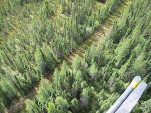
This project evaluated vegetation regeneration in more than 880 km of cutlines in support of the intactness study for the Keeyask environmental impact assessment.
In support of this study, ECOSTEM acquired low-level oblique photography of the cutlines, which was used to classify the state of vegetation regeneration as well as ongoing use. The data from this study was used to enhance the human features mapping, and improve the intactness model used for the cumulative effects assessment.
Regional Cumulative Effects Assessment of Hydroelectric Development in Northern Manitoba
This project was a regional cumulative effects assessment of all hydroelectric development in northern Manitoba. For more information, see Environmental Assessment page.
ECOSTEM’s mapping roles for this project included: creating the map datasets needed for all components of the terrestrial environment; and, mapping terrestrial ecosystems, habitat and plants for current, pre-development and pre-hydroelectric conditions.
Habitat maps representing current and historical condition were created at two levels of detail. A detailed habitat map for the core 198,300 km2 study area was produced from a combination of consolidating spatial habitat datasets that had been produced for recent hydroelectric developments, existing forest inventory data, and photo-interpretation. A coarser habitat map for the balance of the 585,000 km2 study area was produced by enhancing a publicly available satellite imagery classification using field data that had been collected in the study area.
Historical and current shoreline wetland attributes were mapped along 30,000 km of shoreline. Wetland attributes were mapped from current and historical air photos. To digitize the interpreted features in a GIS, air photos were scanned, stitched and ortho-rectified.
To support the intactness assessment, large-scale current and historical condition human feature maps were created for the largest study area. These maps were created from high-resolution digital ortho-rectified imagery, stereo air photos, and moderate and high-resolution satellite imagery, and publicly available data sources.
Learn more about this project.


