Keeyask Generation Project
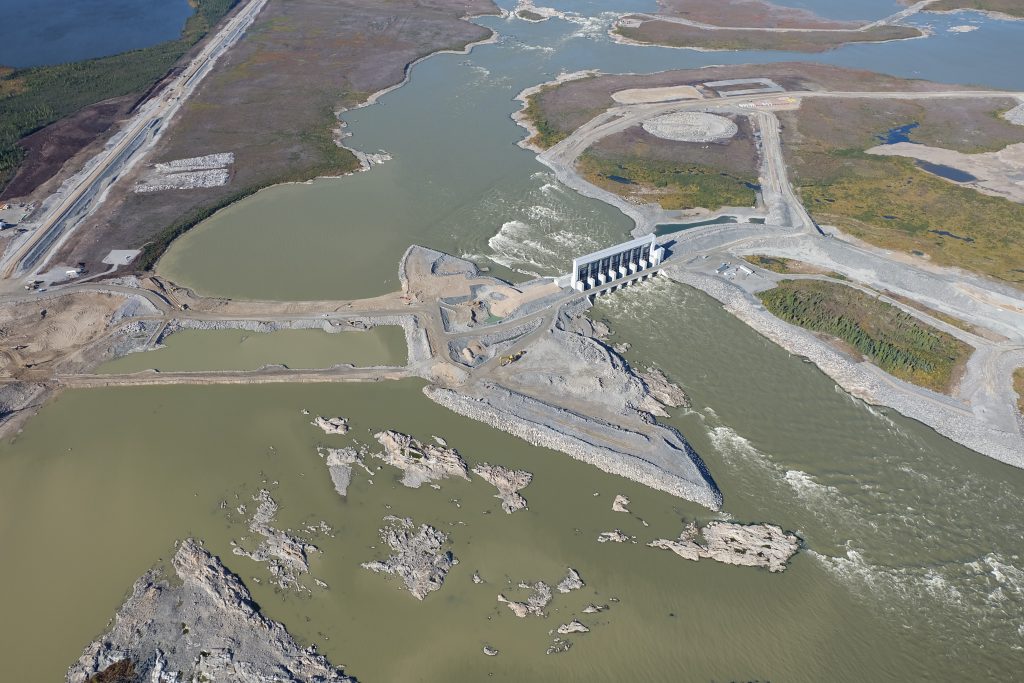
The Keeyask Generation Project is a 695 MW hydro-electric generating station with an estimated construction cost of over $8 billion. This project is directly impacting 56 km2 of wetlands and uplands. Construction was nearing completion in fall, 2020.
ECOSTEM has provided extensive services to this project in all Service Areas.
ECOSTEM’s key roles for the environmental assessment included:
- Completing baseline studies.
- Determining the overall terrestrial assessment methodology.
- Designing and carrying out assessments for terrestrial ecosystems, habitat and plants.
- Designing and carrying out required mapping for all terrestrial components.
- Designing and carrying out field data collection for terrestrial ecosystems, habitat and plants.
- For the physical environment assessment: designing and carrying out the assessments for soils, peatlands, surficial permafrost, and peatland component of shoreline erosion.
- Selecting key topics to focus our components of the overall assessment.
- Selecting indicators and metrics for the key topics.
- Determining benchmarks and thresholds for the metrics.
- Evaluating alternative routes for 56 km of access roads that would later become a provincial highway.
- Incorporating climate change effects into the assessments (e.g., including its potential effects on EIS predictions).
- Providing GIS, statistical, modeling and cartographic support for the wildlife studies and elements of the physical environment assessment.
- Communicating potential project effects to local First Nations.
- Recommending mitigation.
- Working with project engineers and others to find a good balance between local First Nation, ecosystem health and cost concerns.
- Contributing to environmental protection plans.
- Communicating and defending our assessments to regulators, stakeholders and intervenors.
The VECs and other key topics for the terrestrial ecosystem, habitat and plant assessments were wetland function, intactness, ecosystem diversity, fire regime, soil quantity and quality, priority plants, invasive plants and terrestrial habitat. A consideration when selecting these key topics was providing an adequate foundation for the wildlife assessments.
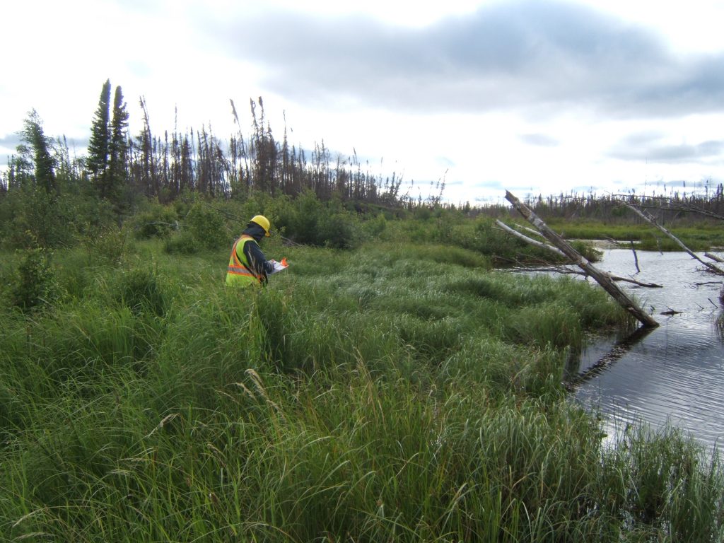
ECOSTEM completed a wide range of activities in support of the assessments. Based on local First Nation concerns,the nature of potential effects and the available information, we completed major mapping and data collection programs.
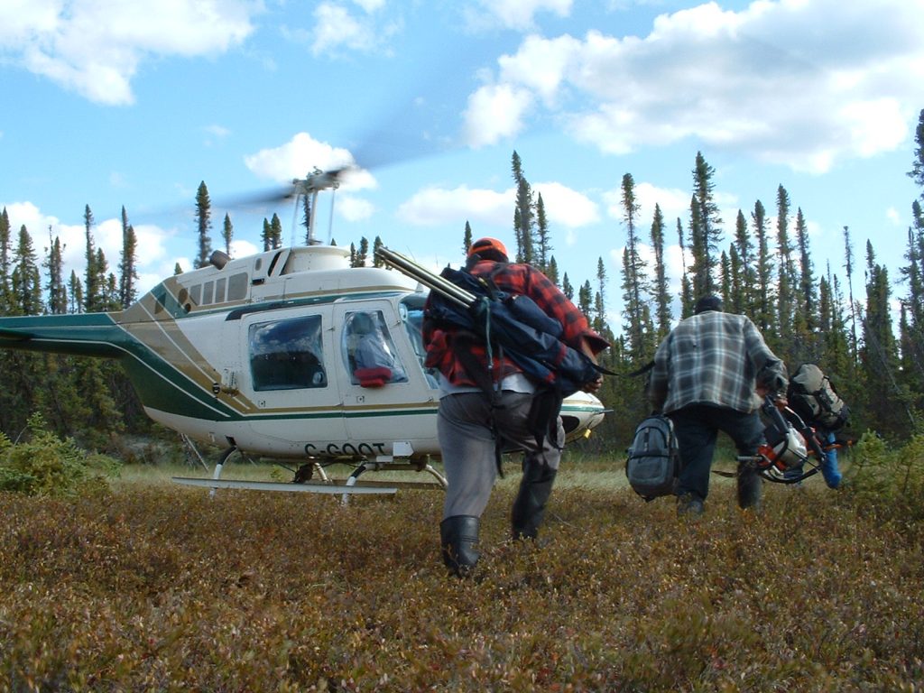
ECOSTEM completed a major field data collection program. The studies were designed to meet several objectives such as to:
- Characterize each of the mapped terrestrial ecosystem/habitat types;
- Map wildlife habitat;
- Provide statistically-based associations between vegetation, soils and other environmental factors, and with causal factors.
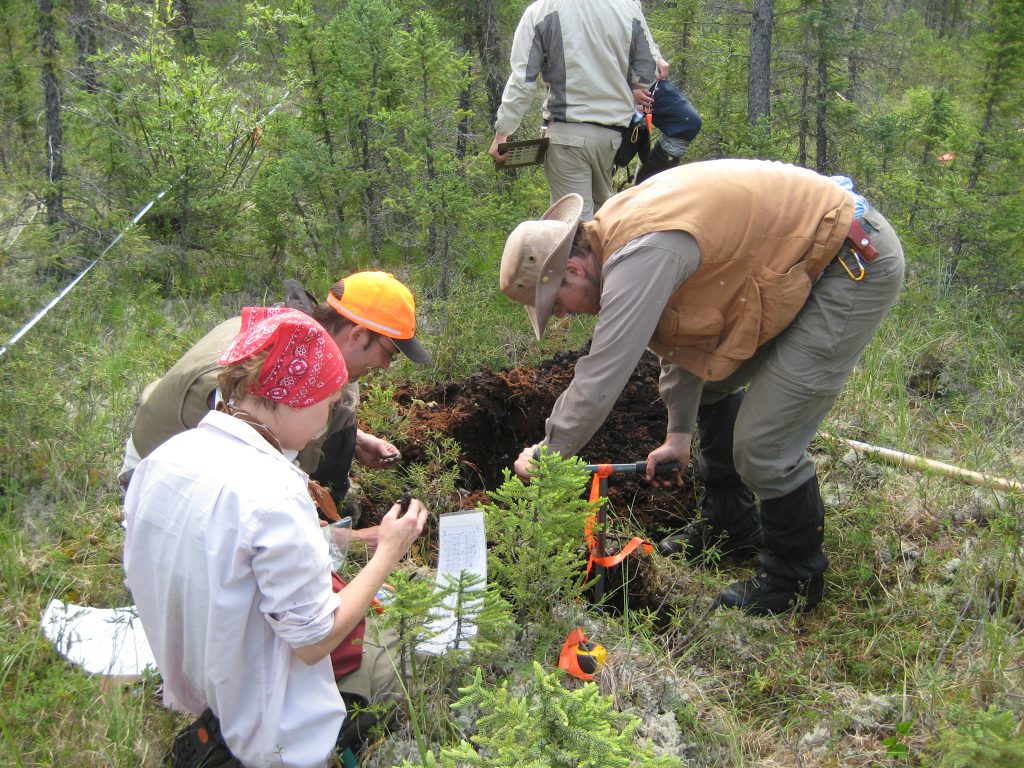
We created terrestrial habitat and wildlife habitat mapping from a combination of satellite imagery for an area of more than 14,200 km2. Large-scale, detailed habitat mapping was produced from photo-interpretation for more than 1,750 km2. Existing shoreline and offshore wetlands were mapped along more than 1,700 km of shoreline, while historical wetland conditions were mapped along approximately 1,100 km of shoreline. For the intactness assessment, human footprints were mapped for a 14,200 km2 area from a combination of interpreting high-resolution remote sensing and publicly available data.

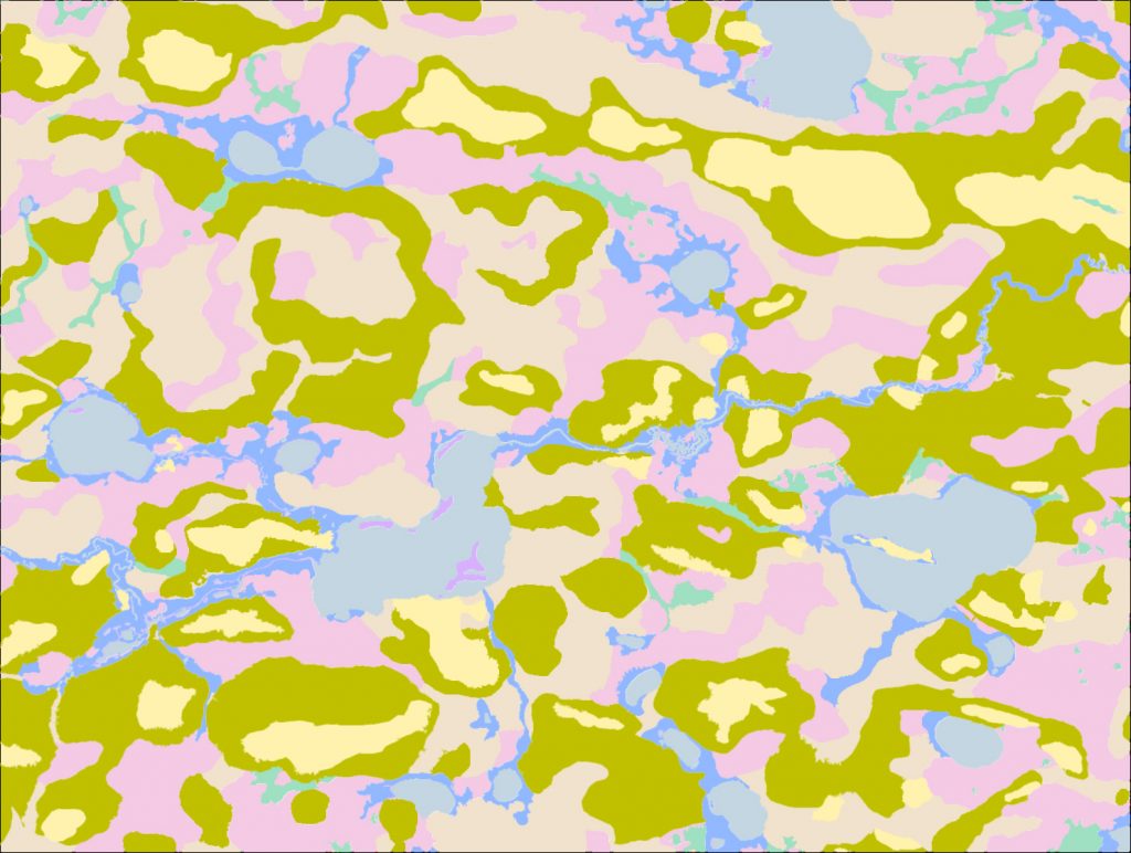
Various types of models were developed and applied to the collected data and mapping to better understand pathways of effects, and to predict potential project effects. An example is the peatland disintegration model.
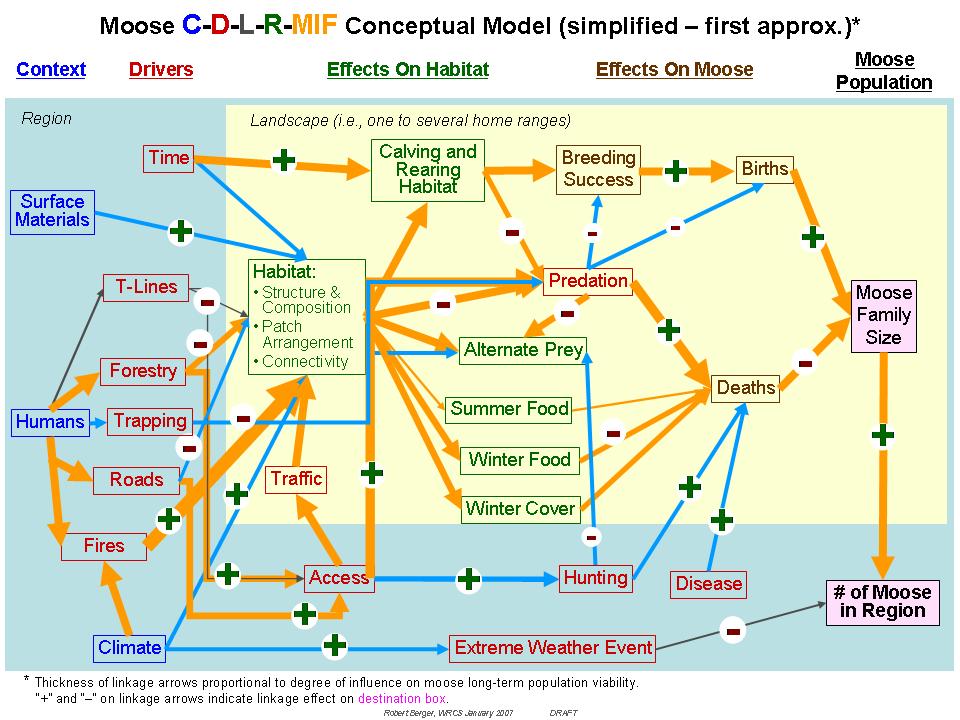
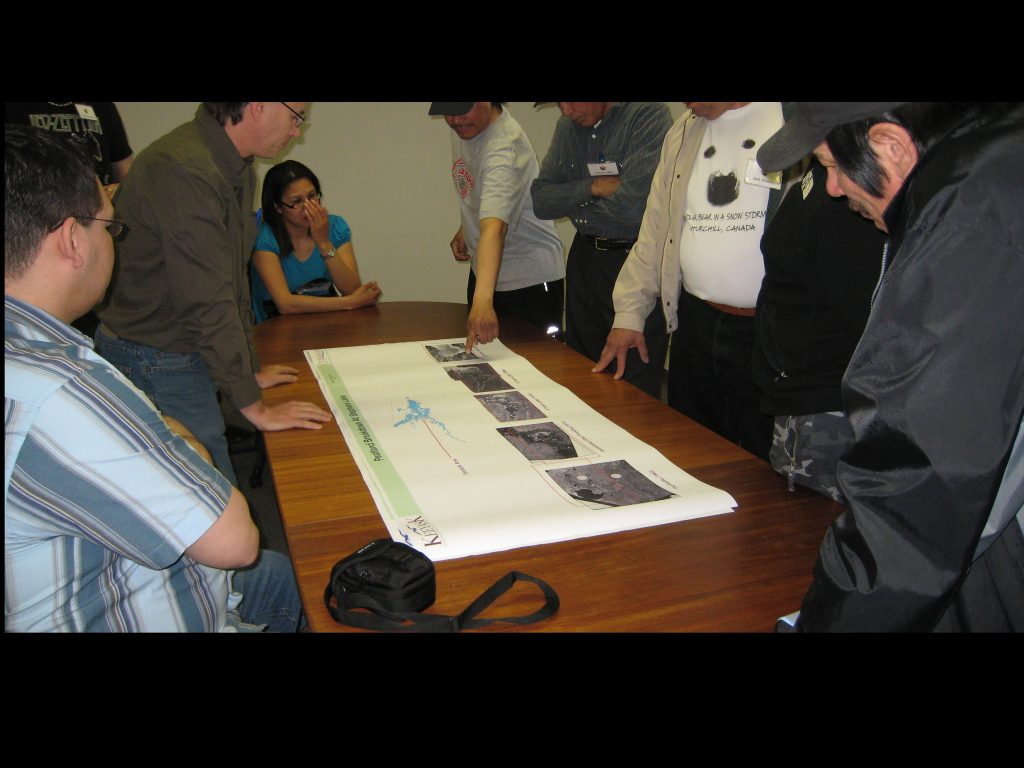
Once preliminary results were available, ECOSTEM worked with project engineers, technical experts and local First Nations to develop and recommend measures that would reduce potential project effects that were of high conservation and/or social concern.
We produced written material for our components of the environmental assessment, which were incorporated into the project’s environmental impact statement (EIS).
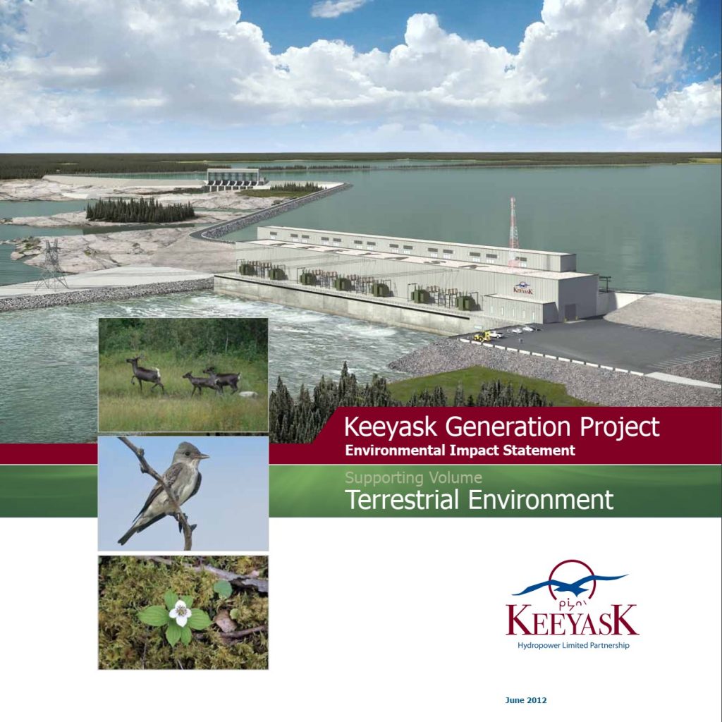
Following the filing of the EIS, we responded to interrogatories from Environment Canada, the Manitoba Clean Environment Commission and intervenors. Later we successfully defended the assessments before the Clean Environment Commission. In its report, the Commission stated that the surveys and analyses of vegetation were particularly well done.
The project was subsequently licensed, and construction began in 2014.
ECOSTEM was retained to design the project effects and compliance monitoring during construction and operation for the terrestrial environment.
ECOSTEM has been conducting the monitoring for terrestrial ecosystems, habitat and plants, and contributing to adaptive management. We have also been providing GIS, statistical and modeling support for the wildlife monitoring. Learn more…


