Terrestrial Ecosystem Ecology, Predicting Responses to Human Impacts
Project effects predictions, mitigation recommendations or modifications to land use or management practices are most likely to have successful outcomes if they are based on an understanding of terrestrial ecosystem ecology and how ecosystems respond to human impacts.
ECOSTEM has developed a deep understanding of boreal ecosystem ecology through numerous studies that included mapping, data collection, literature reviews, analysis, modeling and/or predictions.
Our ecological understanding is usually represented in models. In the services that ECOSTEM provides, a model is a formalized simplification of reality that is used to meet a project objective. Almost every project that ECOSTEM has worked on has included more than one form of modeling. The complexity of these models has ranged from basic (e.g., heuristic) to complex mixed process-empirical models (e.g., our peatland disintegration model).
We can just as easily use an existing model as develop a new one to meet project-specific needs. Developing a model and estimating its parameters makes use of various statistical methods such as univariate statistics, multivariate analysis, logistic regression and Markov chain analysis. We have experience in a wide range of statistical and modeling methods.
We often provide modeling and statistical support to other team members.
Examples of areas of expertise are:
- In-depth understanding of terrestrial ecosystem processes, particularly for the boreal biome
- Principles and application of conservation biology and landscape ecology
- Synthesizing key information from a literature review
- Developing conceptual models for entire ecosystems or ecosystem components (e.g., vegetation, soils, moose populations)
- Ecosystem models
- Conceptual models
- Process and empirical modeling
- Statistical inference and statistical modeling (e.g., logistic regression)
- Multilevel (hierarchical), mixed modeling
- Ordination, classification and decision trees
- Hierarchical analysis and modeling
- Power analysis
- Model verification and validation
Example Projects
Potential Wetland Responses to Lake St. Martin Outlet Channel Operation
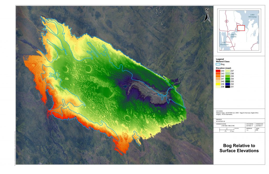
Widespread flooding occurred in southern Manitoba and around Lake Manitoba and Lake St. Martin in 2011. In response, the Government of Manitoba initiated a project to provide enhanced flood protection for these areas. During the preliminary engineering design, various options were evaluated for the Lake St. Martin outlet channel, including converting the emergency channel into a permanent component of the flood control project.
ECOSTEM was retained to evaluate potential wetland responses to Lake St. Martin outlet channel operation for a specific route option for the channel. We mapped wetlands in the potentially affected area from available information complemented by aerial and ground surveys. Using our understanding of wetland ecology and responses to flooding, we predicted potential wetland responses to flooding and channel operation.
Keeyask Generation Project
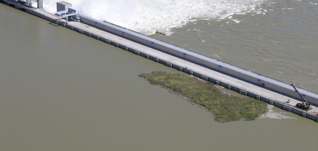
The proposed reservoir for the project would flood a relatively large area dominated by wetlands, the majority of which were peatlands. Some of the associated concerns included the potential effects on terrestrial VECs, effects of the generated floating peat, organic sediment and debris on fish habitat and waterway use by local First Nation members, and the impacts of debris on generating station operation.
To address these concerns, predictions were needed to address questions such as how much of flooded peat could rise to the surface (i.e., resurface), how much of the resurfaced peat would be mobile, how would peat resurfacing contribute to newly created fish habitat in the flooded area, how would the peatland areas bordering the new reservoir respond to flooding, and how much woody debris could be produced? A peatland disintegration model was needed to answer these questions.
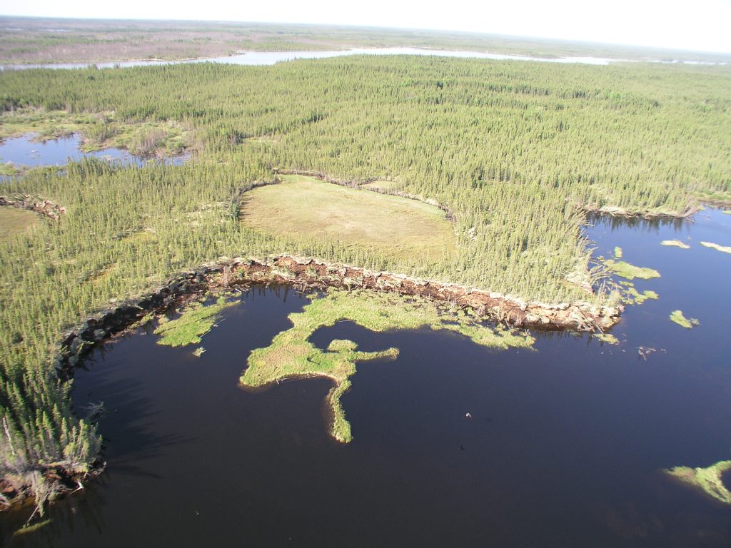
A pre-existing peatland disintegration model was not available when ECOSTEM started this work. To address this need, we completed chronosequence mapping and field data collection from three proxy areas.
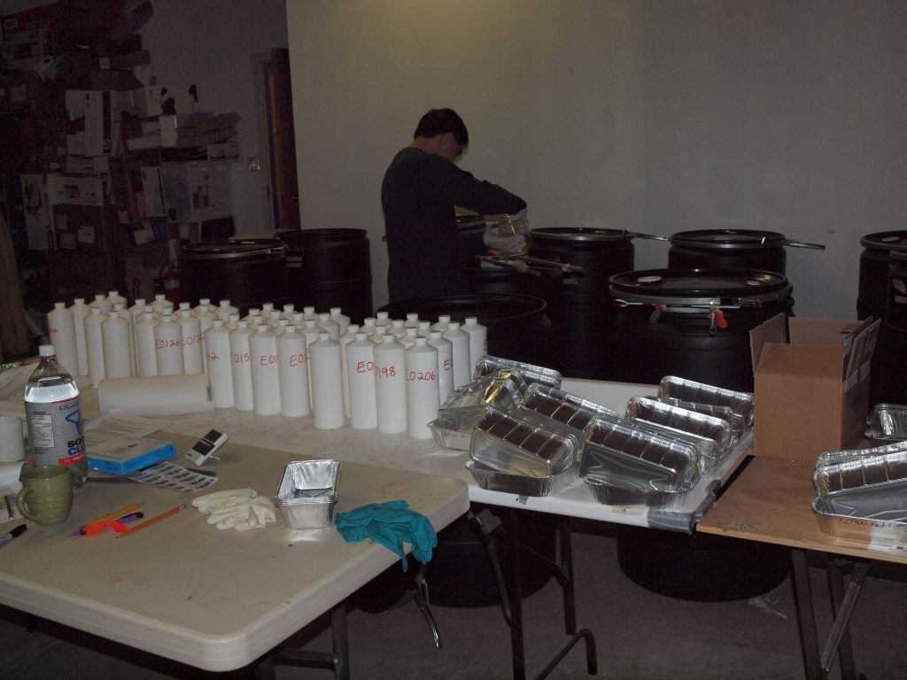
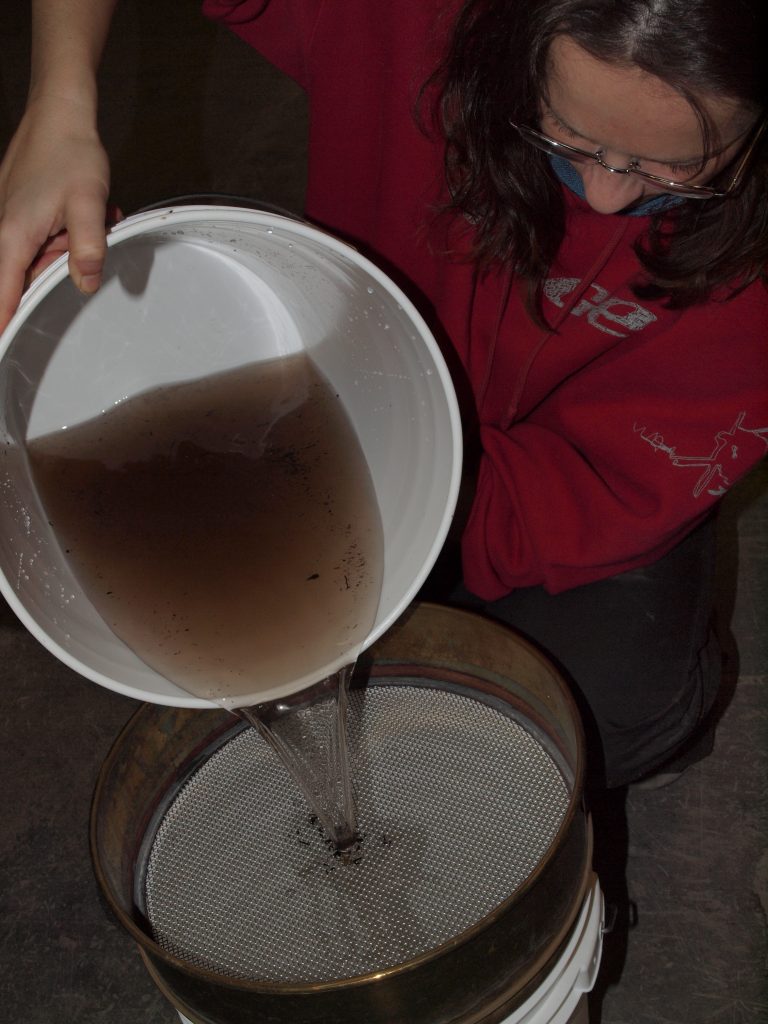
We also completed lab work to better understand peat buoyancy and the physical properties of peat in the potential reservoir area.
In technical terms, we created a mixed process and empirical spatial model with a probabilistic component. Model development and parameterization was based on the results from hidden-Markov chain analysis of the mapping and field data. The resulting model that runs on the terrestrial ecosystem (ELC) mapping that we created for the environmental assessment.
The model was favourably reviewed by an internationally renowned peatland and hydrology expert.


