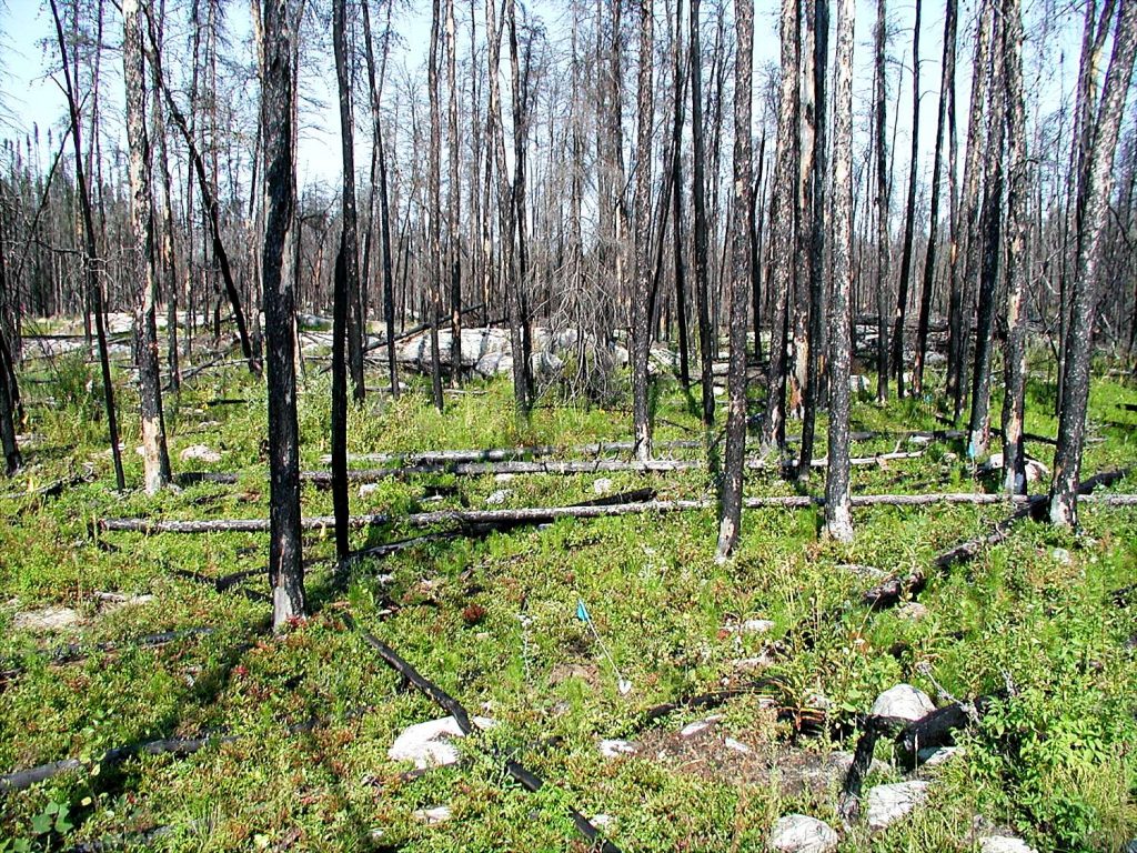
Baseline Studies and Scientific Research
Almost every project that ECOSTEM has worked on has included a data collection program.
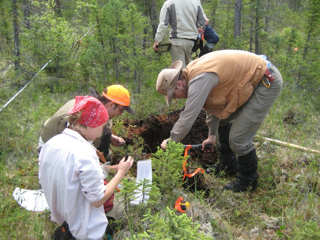
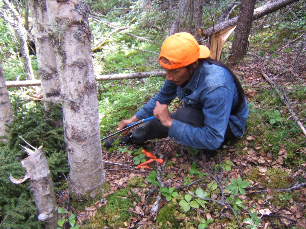
Over the past 25 years, ECOSTEM principals have designed over 120 studies. We have collected vegetation, plant, and/or soils data at over 10,000 sample locations.
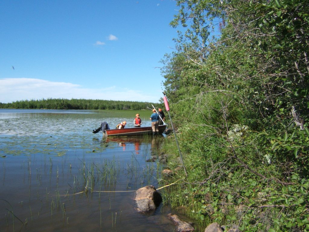
ECOSTEM has conducted fieldwork in a wide range of boreal ecosystem types and ecoregions.
Much of this fieldwork was conducted in remote areas – some were very remote.
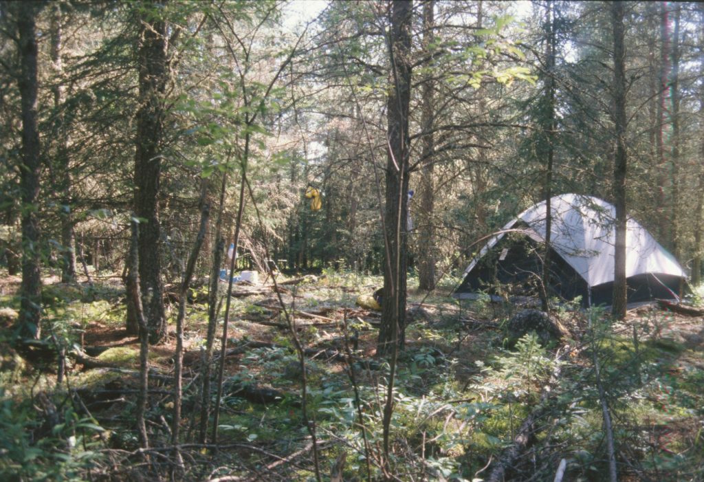
ECOSTEM has developed considerable expertise in designing and carrying out large multi-disciplinary data collection programs. Our study designs focus on scientific credibility while finding a good balance between statistical rigour and cost effectiveness. We know how to make efficient use of resources while keeping safety as a top priority.
Baseline study planning usually relies on mapping, something that ECOSTEM has considerable experience and expertise in. Learn more about our Mapping Services.
Example Projects
Indirect Effects
An important component of an environmental impact assessment is predicting how the project could indirectly affect ecosystems and wildlife. That is, what is the expected spatial extent and nature of edge effects from the project footprint.
ECOSTEM has completed numerous studies to document indirect effects. These studies limited their scope to the extent needed to make credible project effects predictions. The approaches used by these studies included monitoring the effects of new projects and documenting the effects of past projects. Examples of studies we have completed that take the latter approach include:
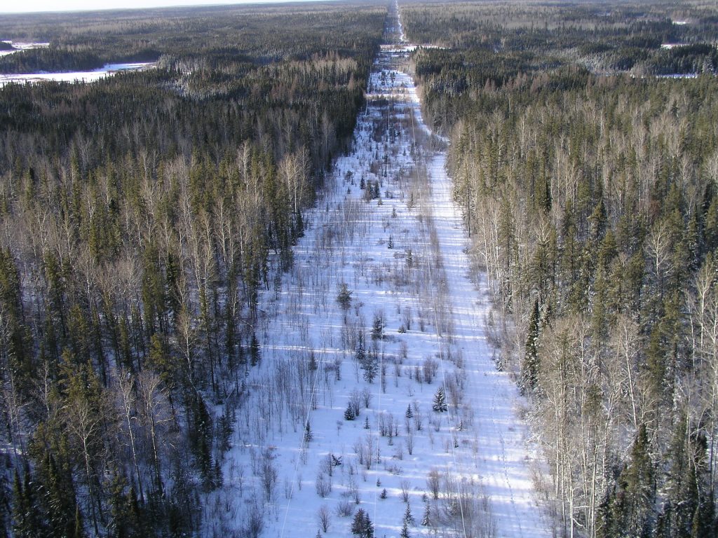
- Edge effects of transmission line rights-of-way.
- Edge effects of roads.
- Responses of wetlands and other terrestrial habitats to flooding and water regulation.
Keeping Forests Healthy While Harvesting Timber
Completed for the Manitoba Model Forest
This was a large, multi-faceted project that developed, tested and monitoring a practical response to the question: “How do we keep forests healthy while harvesting timber?” (some call this “emulating natural disturbance”).
ECOSTEM’s roles in this project included:
- Designing stand and landscape level timber harvest guidelines.
- Working with a forest company to test the guidelines in two large trial areas.
- Monitoring the responses of vegetation, soils and other ecosystem attributes to the modified practices.
- Adaptively managing the guidelines.
- Communicating the results to forest managers, local First Nations, and other local stakeholders.
The creation of these guidelines required information on natural disturbance patterns and how forest lands recover after natural disturbance. The natural disturbance regime in the central-Canadian boreal forest consists of periodic years with numerous large wildfires.
An early step in this project was to identify information gaps and then design studies to fill these gaps. The following presents the two resulting studies.
Landscape Patterns of Large Wildfires
This study mapped and analyzed what large wildfires disturb and what they leave. This was the model for how to design timber harvest operating areas at the landscape and stand levels. The disturbance patterns from 741 km2 large wildfires were mapped and analyzed.
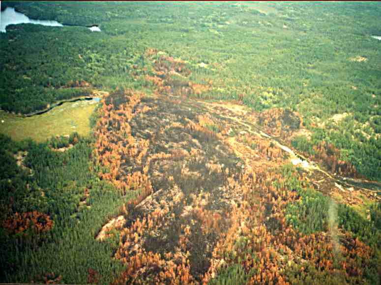
A second study collected the field data needed to characterize post-fire changes in the composition and structure of woody material. A total of 584 plots were sampled in replicate stands representing seven stages in the entire post-fire succession cycle.
